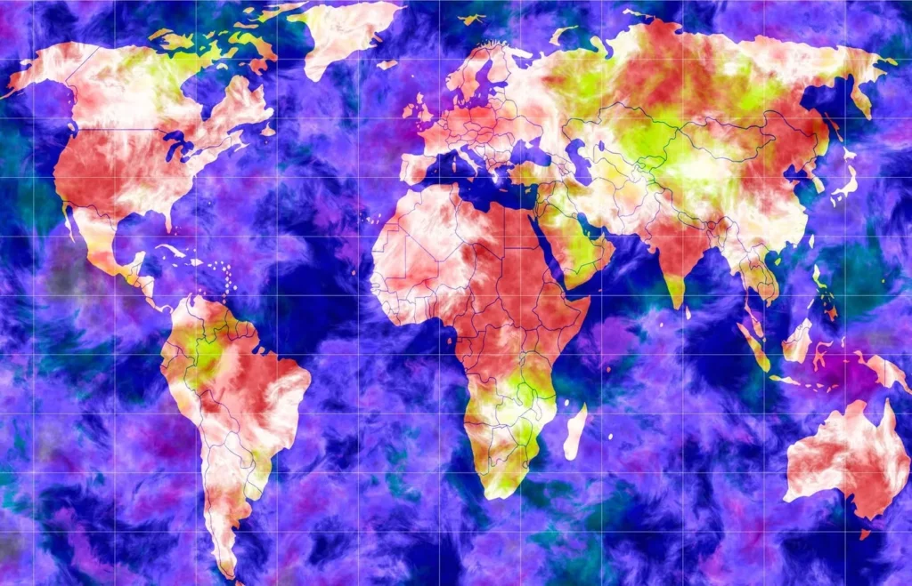
A ‘Master Key’ For The Thorniest Modern Problems: Map Them
In the face of unprecedented growth and technological advancements, cities like Dickinson are finding creative ways to stay ahead of the curve. In a bold move, they’ve opted for a novel strategy that’s revolutionizing their urban planning – transforming a once- neglected downtown area into a vibrant high-density focus point, rather than sprawling outwards.
This game-changing approach has been made possible by the democratization of Geographic Information Systems (GIS) and enterprise mapping. These powerful tools have turned the traditional 70-page plan into an immersive experience, allowing citizens to engage with and interact with the proposed design in real-time. The “growing up” strategy has not only gained traction among residents but also attracted developers, breathing new life into the city’s economy.
GIS maps are no longer just static representations of geographic data; they’re turbo-charged with AI-powered insights that empower leaders to make informed decisions. This cutting-edge technology can be applied to various sectors – infrastructure, public safety, agriculture, and more – enabling swift and confident problem-solving.
The story of Dickinson is not an isolated incident. Cities across the globe are waking up to the limitless potential of GIS and enterprise mapping. We’re witnessing a shift from traditional planning methods to innovative, data-driven strategies that unlock the very fabric of urban development.
To illustrate this point, let’s look at Salem, Oregon, where six drones have been deployed to transform city operations. These aerial assets are integrated with GIS maps to provide unparalleled insights for public works and other departments. From inspecting water towers to identifying areas requiring infrastructure repair after a major ice storm, the drones and their associated maps have become invaluable problem-solving accelerators.
In Salem’s case, the use of these technologies has led to faster and more effective decision-making. This paradigm shift is not limited to urban planning alone; it can be applied across industries, from agriculture to healthcare.
At its core, GIS mapping is a master key that unlocks new layers of understanding, empowering organizations to tackle complex challenges. As we move forward, we’re likely to see this innovative approach spread like wildfire, as cities and companies alike grasp the immense potential of these technologies.
This article is an opinion piece written by Forbes contributor, [Author Name].
Source: https://www.forbes.com/sites/esri/2025/04/09/a-master-key-for-the-thorniest-modern-problems-map-them/


